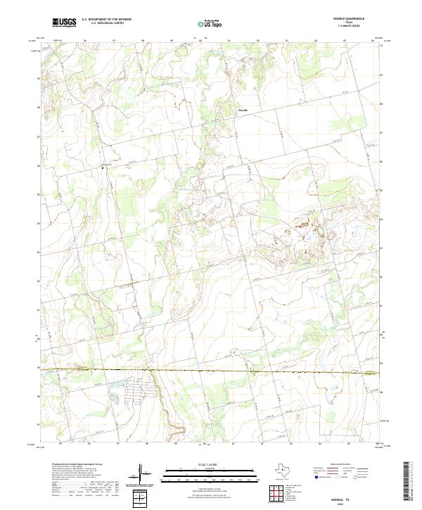
2022 Map of Noodle
USGS Topo · Published 2022About this map
Noodle serves as the central point of this West Texas landscape, where the agricultural grid meets the winding courses of Sweetwater Cr and Noodle Cr. The map documents a sparsely populated rural district defined by wide ranching and farming tracts, primarily organized along a network of county roads and farm-to-market routes like FM 1812. The presence of the Noodle Cem west of the main settlement provides a key landmark for genealogists and local historians tracing family lineages in this part of the county. Straddling the boundary between Jones Co and Taylor Co, the terrain transitions from the upland plains into the drainages of Bitter Cr, illustrating the typical hydrology of the Rolling Plains region where watercourses dictate much of the historic land use and movement.
Find a feature on this map
49 named features on this map. Tap any name to fly to it.
Don’t see what you’re looking for? This feature index may not catch every label — zoom into the map to look around manually.
Map Details
Editions of this 2022 Noodle Map
This is the sole edition of this map. No revisions or reprints were ever made.
Other maps of this area

1890 · Abilene
USGS Topo · 1:125,000

1891 · Anson
USGS Topo · 1:125,000

1892 · Abilene
USGS Topo · 1:125,000

1893 · Roby
USGS Topo · 1:125,000

1893 · Anson
USGS Topo · 1:125,000

1893 · Sweetwater
USGS Topo · 1:125,000

1954 · Big Spring
USGS Topo · 1:250,000

1954 · Abilene
USGS Topo · 1:250,000

1957 · Hawley
USGS Topo · 1:62,500

1957 · Merkel
USGS Topo · 1:62,500