
1935 Map of Noontootla
USGS Topo · Published 1935About this map
Cherokee National Forest dominates this 1935 landscape in North Georgia, where the high ridges of the Blue Ridge meet the headwaters of the Togcoa River. The map captures a moment when the Appalachian Trail was a fresh mark across the terrain, crossing through Winding Stair Gap and over Springer Mtn. Small, dispersed settlements like Ankle, Newport, and Kirby are visible along the valley floors, linked by a network of creeks such as Noontootla Creek and Rock Creek.
Find a feature on this map
49 named features on this map. Tap any name to fly to it.
Don’t see what you’re looking for? This feature index may not catch every label — zoom into the map to look around manually.
Map Details
Editions of this 1935 Noontootla Map
This is the sole edition of this map. No revisions or reprints were ever made.
Other maps of this area

1888 · Ellijay
USGS Topo · 1:125,000

1892 · Ellijay
USGS Topo · 1:125,000

1898 · Ellijay
USGS Topo · 1:125,000

1911 · Ellijay
USGS Topo · 1:125,000

1935 · Mulky Gap
USGS Topo · 1:24,000

1935 · Lake Toccoa
USGS Topo · 1:24,000

1935 · Tickanetley
USGS Topo · 1:24,000
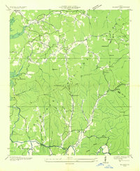
1935 · Wilscot
USGS Topo · 1:24,000
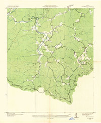
1935 · Suches
USGS Topo · 1:24,000
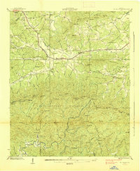
1938 · Mulky Gap
USGS Topo · 1:24,000