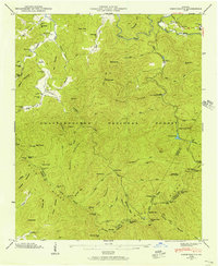
1946 Map of Noontootla
USGS Topo · Published 1956About this map
Springer Mtn serves as a prominent anchor for the high country of Fannin County in the mid-1940s, marking a rugged landscape where the Appalachian Trail winds across the Blue Ridge crest. This survey by the Tennessee Valley Authority and USGS details a mountain economy and social structure defined by creek-side settlements like Newport and Stock Hill. While the Chattahoochee National Forest encompasses much of the terrain, local life is documented through scattered landmarks such as Noontootla Ch, Bunker Hill Sch, and the Wilson Mill. The presence of the Mill Creek Trout Rearing Station and the Hawk Mtn Lookout Tower reflects the era's federal management of these highlands. Genealogists will find several family-named burial sites, including Garrett Cem and Johnson Cem, often located near the headwaters of Noontootla Creek and the Toccoa River.
Find a feature on this map
108 named features on this map. Tap any name to fly to it.
Don’t see what you’re looking for? This feature index may not catch every label — zoom into the map to look around manually.
Map Details
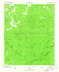
Editions of this 1946 Noontootla Map
2 editions found
Other maps of this area

1888 · Ellijay
USGS Topo · 1:125,000

1892 · Ellijay
USGS Topo · 1:125,000

1898 · Ellijay
USGS Topo · 1:125,000

1911 · Ellijay
USGS Topo · 1:125,000

1935 · Mulky Gap
USGS Topo · 1:24,000

1935 · Noontootla
USGS Topo · 1:24,000

1935 · Lake Toccoa
USGS Topo · 1:24,000

1935 · Tickanetley
USGS Topo · 1:24,000
1935 · Wilscot
USGS Topo · 1:24,000
1935 · Suches
USGS Topo · 1:24,000