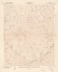
1947 Map of Noontootla
USGS Topo · Published 1947About this map
Noontootla and the surrounding high country of the Chattahoochee National Forest are documented here just after the war, showing a landscape defined by its remote homesteads and mountain gaps. The map records several early gathering places for the community, including the Noontootla Ch and Bunker Hill Sch, alongside numerous family burial grounds like Garrett Cem and Johnson Cem.
Find a feature on this map
86 named features on this map. Tap any name to fly to it.
Don’t see what you’re looking for? This feature index may not catch every label — zoom into the map to look around manually.
Map Details
Editions of this 1947 Noontootla Map
2 editions found
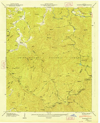
Other maps of this area

1888 · Ellijay
USGS Topo · 1:125,000

1892 · Ellijay
USGS Topo · 1:125,000

1898 · Ellijay
USGS Topo · 1:125,000

1911 · Ellijay
USGS Topo · 1:125,000

1935 · Mulky Gap
USGS Topo · 1:24,000

1935 · Noontootla
USGS Topo · 1:24,000

1935 · Lake Toccoa
USGS Topo · 1:24,000

1935 · Tickanetley
USGS Topo · 1:24,000
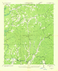
1935 · Wilscot
USGS Topo · 1:24,000
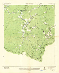
1935 · Suches
USGS Topo · 1:24,000