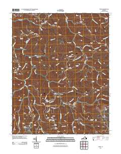
2011 Map of Nora
USGS Topo · Published 2011About this map
McClure River carves a deep path through this Appalachian landscape, serving as a primary corridor for settlements like Stratton and Nora. The topography is defined by high ridges such as Nealy Ridge and Counts Ridge, which separate the numerous branch hollows that have historically dictated the placement of homesteads and family burial grounds. The concentration of dozens of small cemeteries, including the Powers Cemetery and Grizzle Cemetery, reflects the deep-rooted genealogical history of the area's hollows and ridges.
Find a feature on this map
118 named features on this map. Tap any name to fly to it.
Don’t see what you’re looking for? This feature index may not catch every label — zoom into the map to look around manually.
Map Details
Editions of this 2011 Nora Map
This is the sole edition of this map. No revisions or reprints were ever made.
Other maps of this area

1886 · Grundy
USGS Topo · 1:125,000

1890 · Grundy
USGS Topo · 1:125,000

1892 · Grundy
USGS Topo · 1:125,000

1897 · Bristol
USGS Topo · 1:125,000

1902 · Bristol
USGS Topo · 1:125,000
1913 · Clintwood
USGS Topo · 1:62,500
1914 · Bucu
USGS Topo · 1:48,000
1915 · Clintwood
USGS Topo · 1:62,500
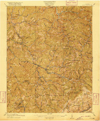
1916 · Bucu
USGS Topo · 1:62,500
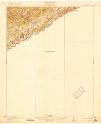
1918 · Carterton
USGS Topo · 1:62,500