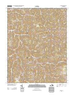
2013 Map of Nora
USGS Topo · Published 2013About this map
Wakenva and Trammel serve as central points in this Dickenson County landscape, where the narrow valleys of the Cumberland Plateau dictate the layout of community and industry. The topography is defined by a dense network of ridges such as Counts Ridge and Nealy Ridge, separated by steep hollows including Knot Hollow and Bear Hollow. This 2013 survey illustrates the continued importance of the corridor along the Doctor Ralph Stanley Hwy, which follows the contours of the McClure Cr and Open Fork.
Find a feature on this map
99 named features on this map. Tap any name to fly to it.
Don’t see what you’re looking for? This feature index may not catch every label — zoom into the map to look around manually.
Map Details
Editions of this 2013 Nora Map
This is the sole edition of this map. No revisions or reprints were ever made.
Other maps of this area

1886 · Grundy
USGS Topo · 1:125,000

1890 · Grundy
USGS Topo · 1:125,000

1892 · Grundy
USGS Topo · 1:125,000

1897 · Bristol
USGS Topo · 1:125,000

1902 · Bristol
USGS Topo · 1:125,000

1913 · Clintwood
USGS Topo · 1:62,500

1914 · Bucu
USGS Topo · 1:48,000

1915 · Clintwood
USGS Topo · 1:62,500

1916 · Bucu
USGS Topo · 1:62,500

1918 · Carterton
USGS Topo · 1:62,500