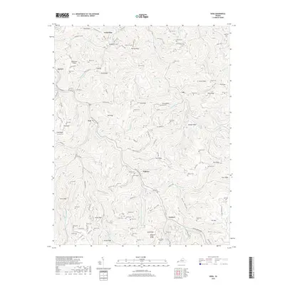
2019 Map of Nora
USGS Topo · Published 2019About this map
McClure River carves through the steep ridges of Dickenson County, anchoring a landscape defined by its deep hollows and narrow valleys. The settlement of Nora sits at the junction of Buffalo Creek and the river, while other small communities like Wakenva, Aily, and Trammel are scattered along the winding drainage paths. This area is a significant hydrological and engineering corridor, featuring the Tennessee Valley Divide and a series of rail passages including the Buffalo Tunnel, Martin Tunnel, and the substantial Sandy Ridge Tunnel. For genealogists, the map is remarkably dense with family-named burial grounds, such as Sutherland Cem, Rasnick Cem, and Mullins Cem, which are perched on high points like Sutherland Ridge and Counts Ridge. The transition from the high elevations of Sandy Ridge to the low-lying creeks illustrates the complex topography that shaped early Appalachian settlement and transport.
Find a feature on this map
132 named features on this map. Tap any name to fly to it.
Don’t see what you’re looking for? This feature index may not catch every label — zoom into the map to look around manually.
Map Details
Editions of this 2019 Nora Map
This is the sole edition of this map. No revisions or reprints were ever made.
Other maps of this area
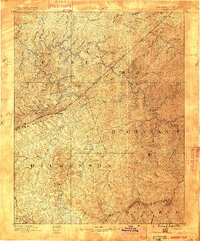
1886 · Grundy
USGS Topo · 1:125,000
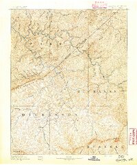
1890 · Grundy
USGS Topo · 1:125,000
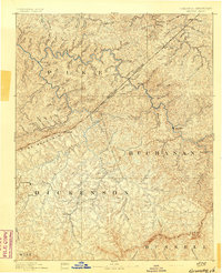
1892 · Grundy
USGS Topo · 1:125,000
1897 · Bristol
USGS Topo · 1:125,000
1902 · Bristol
USGS Topo · 1:125,000
1913 · Clintwood
USGS Topo · 1:62,500
1914 · Bucu
USGS Topo · 1:48,000
1915 · Clintwood
USGS Topo · 1:62,500
1916 · Bucu
USGS Topo · 1:62,500
1918 · Carterton
USGS Topo · 1:62,500