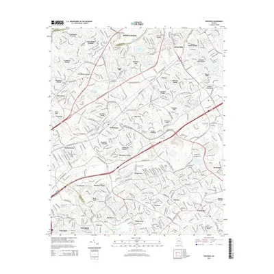
2014 Map of Norcross
USGS Topo · Published 2014About this map
The Chattahoochee River defines the western edge of this suburban landscape, where the 2014 survey reveals the dense residential and commercial expansion northeast of Atlanta. The area is characterized by numerous small lakes and reservoirs, such as Berkeley Lake, Cardinal Lake, and Mockingbird Lake, which served as anchors for mid-century neighborhood developments like Springdale Estates and Sheffield Forest.
Find a feature on this map
82 named features on this map. Tap any name to fly to it.
Don’t see what you’re looking for? This feature index may not catch every label — zoom into the map to look around manually.
Map Details
Editions of this 2014 Norcross Map
This is the sole edition of this map. No revisions or reprints were ever made.
Other maps of this area

1888 · Atlanta
USGS Topo · 1:125,000

1890 · Suwanee
USGS Topo · 1:125,000

1890 · Atlanta
USGS Topo · 1:125,000

1892 · Atlanta
USGS Topo · 1:125,000

1894 · Suwanee
USGS Topo · 1:125,000

1895 · Atlanta
USGS Topo · 1:125,000

1953 · Atlanta
USGS Topo · 1:250,000

1954 · Chamblee
USGS Topo · 1:24,000

1954 · Decatur
USGS Topo · 1:24,000

1955 · Rome
USGS Topo · 1:250,000