Loading...
Loading map...2024 Map of Norcross
USGS Topo · Published 2024About this map
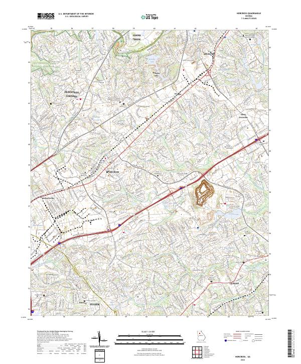
The Chattahoochee River forms the northwestern boundary of this Gwinnett County landscape, where the Chattahoochee River National Recreation Area preserves a natural corridor against the dense suburban expansion of Norcross, Duluth, and Lilburn. This contemporary survey illustrates the complex intersection of historical community markers and modern infrastructure, notably where the corridors of I-85 and I-285 cut through long-established residential and industrial zones.
Find a feature on this map
54 named features on this map. Tap any name to fly to it.
Don’t see what you’re looking for? This feature index may not catch every label — zoom into the map to look around manually.
Map Details
Date Portrayed2024
Date Published2024
PublisherU.S. Geological Survey
Map TypeTopographic
Scale1:24000
Physical Dimensions24 x 29 inches
Editions of this 2024 Norcross Map
This is the sole edition of this map. No revisions or reprints were ever made.
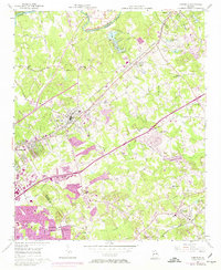
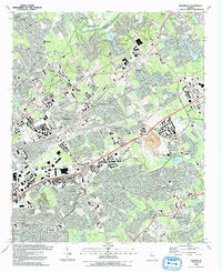
Historical Maps of Adams Crossroads Through Time
3 maps found
Featured Locations
Source Details
SourceU.S. Geological Survey
CopyrightPublic Domain