
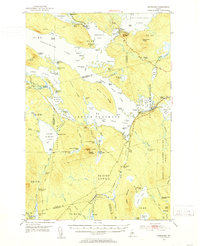
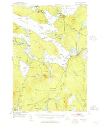
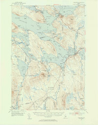
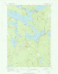
1951 Map of Norcross
USGS Topo · Published 1953About this map
Norcross serves as a primary point of entry for this labyrinthine water network in the Maine wilderness during the early 1950s. The landscape is defined by massive interconnecting water bodies including Ambajejus Lake, Pemadumcook Lake, and the Middle Jo-Mary Lake chain. A notable logistical hub for the timber industry appears at the Boom House near Ambajejus Falls, where the Branch Penobscot River flows out of the lakes.
Find a feature on this map
137 named features on this map. Tap any name to fly to it.
Don’t see what you’re looking for? This feature index may not catch every label — zoom into the map to look around manually.
Map Details
Editions of this 1951 Norcross Map
5 editions found
Other maps of this area

1927 · Katahdin
USGS Topo · 1:48,000

1930 · Katahdin
USGS Topo · 1:62,500

1940 · Sebec
USGS Topo · 1:48,000

1942 · Lincoln
USGS Topo · 1:62,500

1943 · Sebec
USGS Topo · 1:62,500

1947 · Schoodic
USGS Topo · 1:62,500

1949 · Schoodic
USGS Topo · 1:62,500

1949 · Katahdin
USGS Topo · 1:62,500

1951 · Millinocket
USGS Topo · 1:62,500

1952 · Jo-Mary Mountain
USGS Topo · 1:62,500