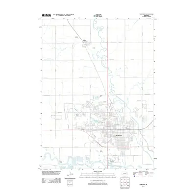
2011 Map of Norfolk
USGS Topo · Published 2011About this map
Norfolk and the northern reaches of Madison County are defined by the convergence of the North Fork Elkhorn River and the main Elkhorn River. In the early 21st century, the landscape reflects a balance of civic expansion and water management, visible through structures like the Raasch Dam creating the Raasch Reservoir and the Multi-Purpose Dam 1-A forming Skyview Lake.
Find a feature on this map
51 named features on this map. Tap any name to fly to it.
Don’t see what you’re looking for? This feature index may not catch every label — zoom into the map to look around manually.
Map Details
Editions of this 2011 Norfolk Map
This is the sole edition of this map. No revisions or reprints were ever made.
Other maps of this area

1955 · Sioux City
USGS Topo · 1:250,000

1955 · Fremont
USGS Topo · 1:250,000

1957 · Fremont
USGS Topo · 1:250,000

1958 · Sioux City
USGS Topo · 1:250,000

1958 · Fremont
USGS Topo · 1:250,000

1959 · Sioux City
USGS Topo · 1:250,000

1963 · Hoskins
USGS Topo · 1:24,000

1963 · Battle Creek
USGS Topo · 1:24,000

1963 · Pierce SE
USGS Topo · 1:24,000

1963 · Norfolk
USGS Topo · 1:24,000
Featured Places
- Norfolk, NE
- Hadar, NE
- Mackels Mobile Home Court, Norfolk
- Norfolk Mobile Home Community, Norfolk
- Pierce County, NE