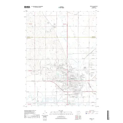
2017 Map of Norfolk
USGS Topo · Published 2017About this map
The North Fork Elkhorn River and the Elkhorn River define the southern and eastern landscape of this region on the border of Pierce Co and Madison Co. The city of Norfolk serves as the primary hub, showing a dense street grid punctuated by Northeast Community College and several historic burial grounds including Prospect Hill Cem and Saint Pauls Lutheran Cem. This 2017 survey details the urban expansion and water management infrastructure, notably the Skyview Lake and Ragsch Reservoir.
Find a feature on this map
98 named features on this map. Tap any name to fly to it.
Don’t see what you’re looking for? This feature index may not catch every label — zoom into the map to look around manually.
Map Details
Editions of this 2017 Norfolk Map
This is the sole edition of this map. No revisions or reprints were ever made.
Other maps of this area

1955 · Sioux City
USGS Topo · 1:250,000

1955 · Fremont
USGS Topo · 1:250,000

1957 · Fremont
USGS Topo · 1:250,000

1958 · Sioux City
USGS Topo · 1:250,000

1958 · Fremont
USGS Topo · 1:250,000

1959 · Sioux City
USGS Topo · 1:250,000

1963 · Hoskins
USGS Topo · 1:24,000

1963 · Battle Creek
USGS Topo · 1:24,000

1963 · Pierce SE
USGS Topo · 1:24,000

1963 · Norfolk
USGS Topo · 1:24,000
Featured Places
- Norfolk, NE
- Hadar, NE
- Mackels Mobile Home Court, Norfolk
- Norfolk Mobile Home Community, Norfolk
- Pierce County, NE