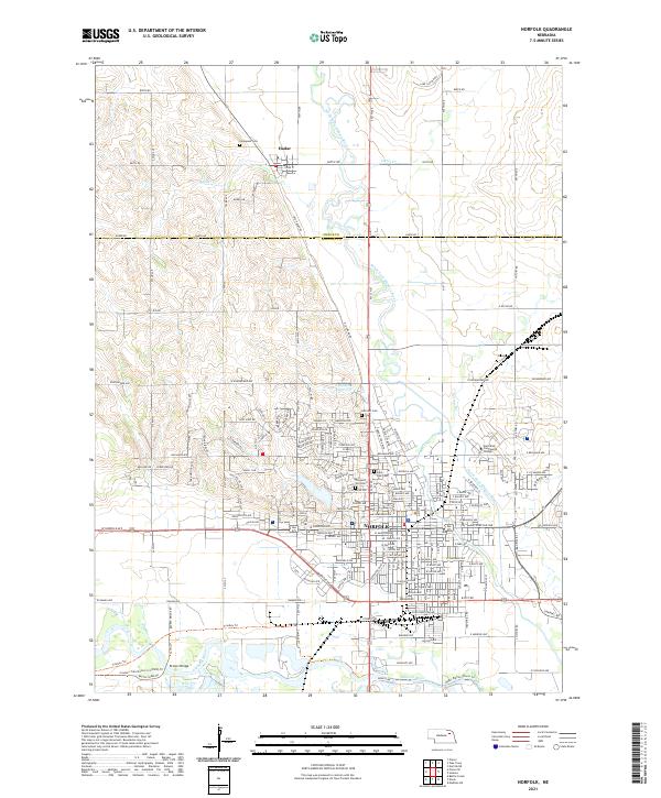
2021 Map of Norfolk
USGS Topo · Published 2021About this map
The North Fork Elkhorn River and the main stem of the Elkhorn River converge in this detailed mapping of northeastern Nebraska, where the urban layout of Norfolk meets the rural boundary of Pierce Co and Madison Co. The map highlights the extensive residential and academic development around Northeast Community College and the central business district. Smaller outlying settlements like Hadar to the north maintain a more grid-based rural character, surrounded by tributaries such as Hadar Cr and Turtle Cr. Local heritage is well-preserved through numerous historical sites, including Immanuel Cem, Saint Paul Cem, and Hillcrest Cem. Topographical features such as Prospect Hill and the Raasch Reservoir provide a look at the local drainage patterns and water management systems that have influenced the regional growth of this Madison County hub.
Find a feature on this map
82 named features on this map. Tap any name to fly to it.
Don’t see what you’re looking for? This feature index may not catch every label — zoom into the map to look around manually.
Map Details
Editions of this 2021 Norfolk Map
This is the sole edition of this map. No revisions or reprints were ever made.
Other maps of this area

1955 · Sioux City
USGS Topo · 1:250,000

1955 · Fremont
USGS Topo · 1:250,000

1957 · Fremont
USGS Topo · 1:250,000

1958 · Sioux City
USGS Topo · 1:250,000

1958 · Fremont
USGS Topo · 1:250,000

1959 · Sioux City
USGS Topo · 1:250,000

1963 · Hoskins
USGS Topo · 1:24,000

1963 · Battle Creek
USGS Topo · 1:24,000

1963 · Pierce SE
USGS Topo · 1:24,000

1963 · Norfolk
USGS Topo · 1:24,000
Featured Places
- Norfolk, NE
- Hadar, NE
- Norfolk Mobile Home Community, Norfolk
- Mackels Mobile Home Court, Norfolk
- Pierce County, NE