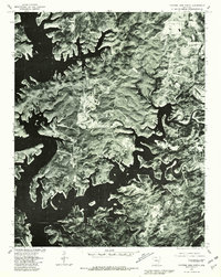
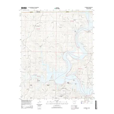
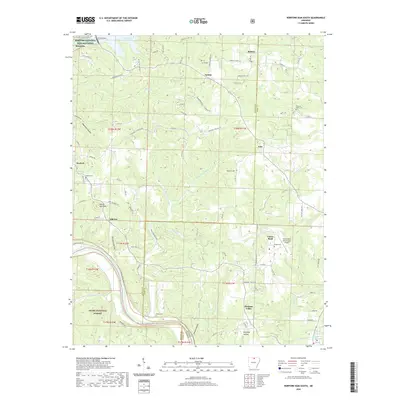
1979 Map of Norfork Dam North
USGS Topo · Published 1981About this map
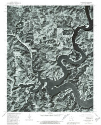
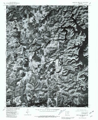
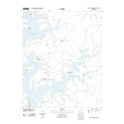
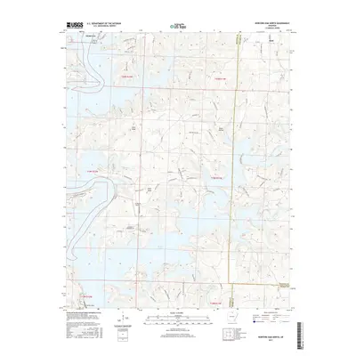
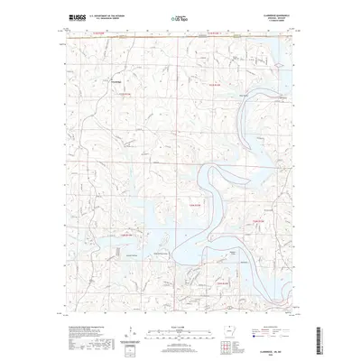
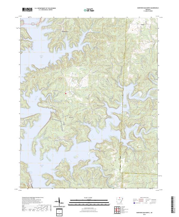
Norfork Lake dominates this 1979 aerial orthophotoquad, showing the intricate, branching shoreline of the reservoir as it appeared nearly four decades after its creation. The imagery, captured by the Geological Survey and Soil Conservation Service, provides a detailed visual of the forested ridges and clearings surrounding the water. Small settlements like Henderson and Ruth are visible at the edges of the lake's reach, while Big Creek winds through the eastern terrain before meeting the primary water body. This specialized orthophoto format overlays traditional land lines from 1965 onto 1979 photography, allowing for a precise study of how roads and properties interacted with the stabilized lake levels and the surrounding Ozark landscape during the late twentieth century.
Find a feature on this map
4 named features on this map. Tap any name to fly to it.
Don’t see what you’re looking for? This feature index may not catch every label — zoom into the map to look around manually.
Map Details
Editions of this 1979 Norfork Dam North Map
This is the sole edition of this map. No revisions or reprints were ever made.
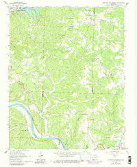
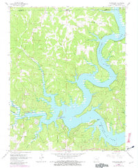
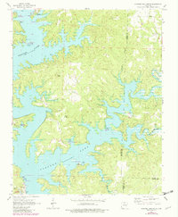
Historical Maps of Diamond Bay Through Time
40 maps found
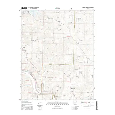
1964 Norfork Dam South
Baxter County, AR
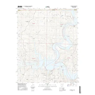
1965 Clarkridge
Baxter County, AR
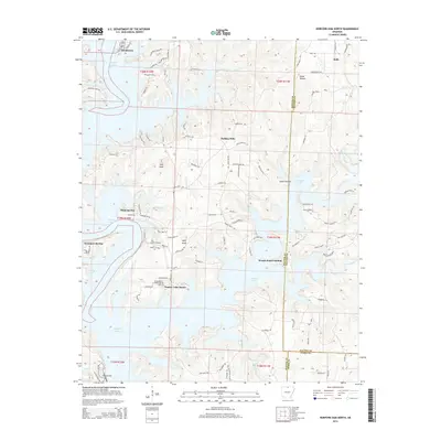
1965 Norfork Dam North
Baxter County, AR
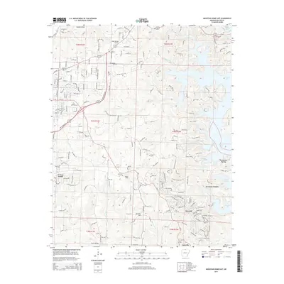
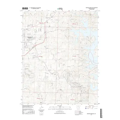
1966 Mountain Home East
Baxter County, AR
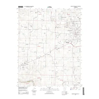
1966 Mountain Home West
Baxter County, AR
1966 Norfork SE
Baxter County, AR
1979 Clarkridge
Baxter County, AR
1979 Mountain Home East
Baxter County, AR
1979 Mountain Home West
Baxter County, AR
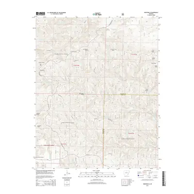
1979 Norfork Dam North
Baxter County, AR
2011 Clarkridge
Baxter County, AR
2011 Mountain Home East
Baxter County, AR
2011 Mountain Home West
Baxter County, AR
2011 Norfork Dam North
Baxter County, AR
2011 Norfork Dam South
Baxter County, AR
2011 Norfork SE
Baxter County, AR
2014 Clarkridge
Baxter County, AR
2014 Mountain Home East
Baxter County, AR
2014 Mountain Home West
Baxter County, AR
2014 Norfork Dam North
Baxter County, AR
2014 Norfork Dam South
Baxter County, AR
2014 Norfork SE
Baxter County, AR
2017 Clarkridge
Baxter County, AR
2017 Mountain Home East
Baxter County, AR
2017 Mountain Home West
Baxter County, AR
2017 Norfork Dam North
Baxter County, AR
2017 Norfork Dam South
Baxter County, AR
2017 Norfork SE
Baxter County, AR
2020 Clarkridge
Baxter County, AR
2020 Mountain Home East
Baxter County, AR
2020 Mountain Home West
Baxter County, AR
2020 Norfork Dam North
Baxter County, AR
2020 Norfork Dam South
Baxter County, AR
2020 Norfork SE
Baxter County, AR
2024 Clarkridge
Baxter County, AR
2024 Mountain Home East
Baxter County, AR
2024 Mountain Home West
Baxter County, AR
2024 Norfork Dam North
Baxter County, AR
2024 Norfork Dam South
Baxter County, AR
2024 Norfork SE
Baxter County, AR