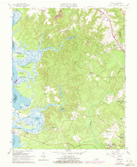
1965 Map of Norge
USGS Topo · Published 1973About this map
Norge and Lightfoot anchor the northeastern corridor of this landscape, where the Chesapeake and Ohio railroad runs parallel to established settlements and several cemeteries. The western half is dominated by the tidal complexities of the Chickahominy River, featuring a network of marshy islands like Yarmouth Island and Wright Island, and numerous winding waterways such as Gordon Creek and Uncles Neck Creek.
Find a feature on this map
58 named features on this map. Tap any name to fly to it.
Don’t see what you’re looking for? This feature index may not catch every label — zoom into the map to look around manually.
Map Details
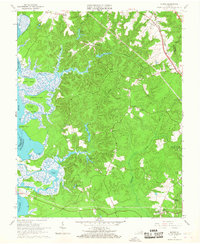
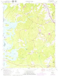
Editions of this 1965 Norge Map
3 editions found
Other maps of this area

1906 · Williamsburg
USGS Topo · 1:62,500

1907 · Yorktown
USGS Topo · 1:62,500

1917 · Toano
USGS Topo · 1:62,500

1918 · Toano
USGS Topo · 1:62,500

1919 · Surry
USGS Topo · 1:62,500

1943 · Yorktown
USGS Topo · 1:62,500

1943 · Richmond
USGS Topo · 1:250,000

1949 · Richmond
USGS Topo · 1:250,000

1950 · Cobham Bay
USGS Topo · 1:24,000
1951 · Williamsburg
USGS Topo · 1:24,000