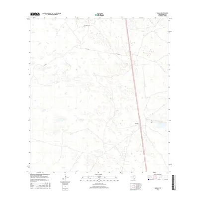
2016 Map of Norias
USGS Topo · Published 2016About this map
Norias serves as the central focal point of this South Texas landscape, situated along the primary north-south corridor of Route 77. This sparsely populated section of Kenedy County is characterized by large ranching tracts and winding ranch roads, including Tobin Armstrong Rd and S Tullidos Rd, which traverse the undulating terrain. Local history and genealogy are anchored at the Norias Cem, located just east of the main settlement. The map illustrates a transitional environment where transportation infrastructure meets the traditional land use of the coastal plains, offering a precise look at the road network and named landmarks that define this specific part of the Texas ranch country during the mid-2010s.
Find a feature on this map
5 named features on this map. Tap any name to fly to it.
Don’t see what you’re looking for? This feature index may not catch every label — zoom into the map to look around manually.
Map Details
Editions of this 2016 Norias Map
This is the sole edition of this map. No revisions or reprints were ever made.
Other maps of this area
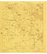
1921 · Tarida Ranch
USGS Topo · 1:62,500
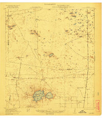
1922 · La Sal Vieja
USGS Topo · 1:62,500
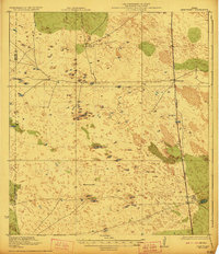
1923 · Armstrong
USGS Topo · 1:62,500
1923 · Saltillo Ranch
USGS Topo · 1:62,500
1953 · Brownsville
USGS Topo · 1:250,000
1956 · Pita Camp
USGS Topo · 1:24,000
1956 · Armstrong
USGS Topo · 1:24,000
1956 · San Pedro Ranch
USGS Topo · 1:24,000
1956 · Julian
USGS Topo · 1:24,000
1956 · Saltillo Well
USGS Topo · 1:24,000