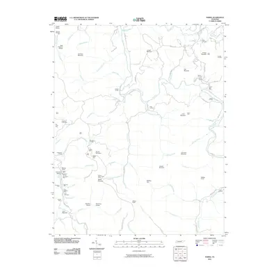
2010 Map of Norma
USGS Topo · Published 2010About this map
Brimstone Creek and the New River define the industrial and physical landscape of this Scott County region, where the extraction of coal and timber shaped local settlement. The map documents an extensive network of mining operations, including the West Brothers Mine, Pemberton Mine, and Lassie Mine, many of which are linked by rail sidings such as Sterling Siding and Brimstone Siding. These transportation corridors followed the narrow valley floors beneath high points like Signal Mountain and Day Mountain.
Find a feature on this map
98 named features on this map. Tap any name to fly to it.
Don’t see what you’re looking for? This feature index may not catch every label — zoom into the map to look around manually.
Map Details
Editions of this 2010 Norma Map
This is the sole edition of this map. No revisions or reprints were ever made.
Other maps of this area

1893 · Briceville
USGS Topo · 1:125,000

1895 · Wartburg
USGS Topo · 1:125,000

1895 · Briceville
USGS Topo · 1:125,000

1896 · Wartburg
USGS Topo · 1:125,000

1896 · Briceville
USGS Topo · 1:125,000

1935 · Gobey
USGS Topo · 1:24,000

1936 · Hogbell Gap
USGS Topo · 1:24,000

1936 · Block
USGS Topo · 1:24,000

1936 · Pioneer
USGS Topo · 1:24,000

1936 · Duncan Flats
USGS Topo · 1:24,000