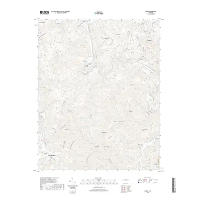
2019 Map of Norma
USGS Topo · Published 2019About this map
New River carves a winding path through this corner of the Cumberland Plateau, anchoring the settlements of Winona, Cordell, and Norma. The landscape is defined by its deep hollows and high knobs, including Lick Creek Mtn and Signal Mtn, where the topography dictated the placement of early roads like River Rd and Norma Rd. The presence of numerous family burial grounds, such as Rector Cem and Phillip Cem, points to the long-standing community roots in these valleys.
Find a feature on this map
88 named features on this map. Tap any name to fly to it.
Don’t see what you’re looking for? This feature index may not catch every label — zoom into the map to look around manually.
Map Details
Editions of this 2019 Norma Map
This is the sole edition of this map. No revisions or reprints were ever made.
Other maps of this area
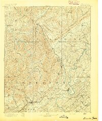
1893 · Briceville
USGS Topo · 1:125,000
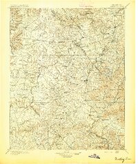
1895 · Wartburg
USGS Topo · 1:125,000
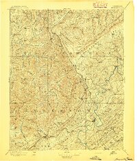
1895 · Briceville
USGS Topo · 1:125,000
1896 · Wartburg
USGS Topo · 1:125,000
1896 · Briceville
USGS Topo · 1:125,000
1935 · Gobey
USGS Topo · 1:24,000
1936 · Hogbell Gap
USGS Topo · 1:24,000
1936 · Block
USGS Topo · 1:24,000
1936 · Pioneer
USGS Topo · 1:24,000
1936 · Duncan Flats
USGS Topo · 1:24,000