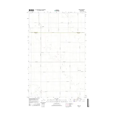
2014 Map of Norma
USGS Topo · Published 2014About this map
The small settlement of Norma sits at the northern edge of the prairie landscape along the Renville Co and Ward Co line. This 2014 survey illustrates the vast, grid-patterned agricultural layout of the region, where a dense network of county roads like 92nd St NW and 450th St NW partition the land into uniform sections. In the southeastern portion of the map, Bodmer Airport stands as a solitary aviation marker amidst the surrounding fields. The geography is characterized by numerous small depressions and basins common to the northern plains, with Cr-1 providing a primary north-south transportation link through the heart of the township. The map captures a moment of modern rural continuity where the primary infrastructure remains centered on local transit and agriculture.
Find a feature on this map
24 named features on this map. Tap any name to fly to it.
Don’t see what you’re looking for? This feature index may not catch every label — zoom into the map to look around manually.
Map Details
Editions of this 2014 Norma Map
This is the sole edition of this map. No revisions or reprints were ever made.
Other maps of this area
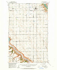
1947 · Tolley
USGS Topo · 1:62,500
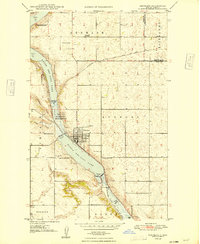
1948 · Kenmare
USGS Topo · 1:24,000
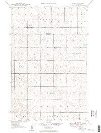
1948 · Norma
USGS Topo · 1:24,000
1948 · Tolley
USGS Topo · 1:24,000
1948 · Donnybrook
USGS Topo · 1:24,000
1949 · Tolley SE
USGS Topo · 1:24,000
1949 · Bowbells SE
USGS Topo · 1:24,000
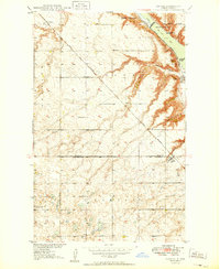
1949 · Coulee
USGS Topo · 1:24,000
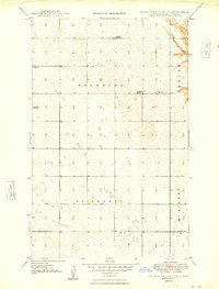
1949 · Mouse River Park SW
USGS Topo · 1:24,000
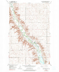
1949 · Mouse River Park
USGS Topo · 1:24,000