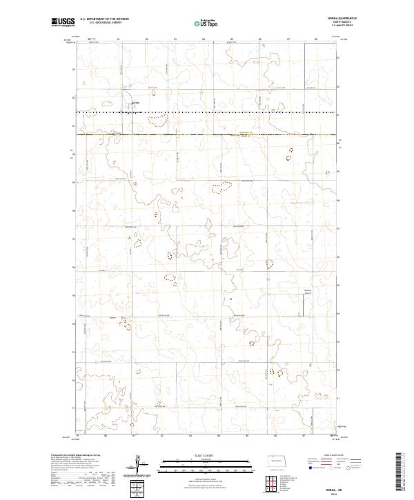
2024 Map of Norma
USGS Topo · Published 2024About this map
Norma serves as the primary settlement on this North Dakota prairie landscape, situated near the northern edge of the survey. The terrain is characterized by a dense concentration of wetlands and small water bodies that punctuate the agricultural sections. The county line between Renville Co and Ward Co bisects the northern half of the quadrangle, primarily following 90th St NW. Transportation throughout the area is defined by a rigid section-line grid, including prominent north-south corridors like Co Rd 1 and Co Hwy 3. In the southeastern portion, Bodmer Airport provides a point of aviation infrastructure amidst the expansive fields. The map captures a quintessential High Plains township structure, where land is precisely partitioned for agricultural use, interrupted only by the natural depressions of the numerous prairie potholes that dot the township.
Find a feature on this map
31 named features on this map. Tap any name to fly to it.
Don’t see what you’re looking for? This feature index may not catch every label — zoom into the map to look around manually.
Map Details
Editions of this 2024 Norma Map
This is the sole edition of this map. No revisions or reprints were ever made.
Other maps of this area

1947 · Tolley
USGS Topo · 1:62,500

1948 · Kenmare
USGS Topo · 1:24,000

1948 · Norma
USGS Topo · 1:24,000

1948 · Tolley
USGS Topo · 1:24,000

1948 · Donnybrook
USGS Topo · 1:24,000

1949 · Tolley SE
USGS Topo · 1:24,000

1949 · Bowbells SE
USGS Topo · 1:24,000

1949 · Coulee
USGS Topo · 1:24,000

1949 · Mouse River Park SW
USGS Topo · 1:24,000

1949 · Mouse River Park
USGS Topo · 1:24,000