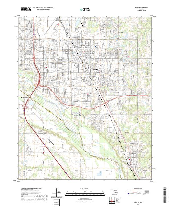
2022 Map of Norman
USGS Topo · Published 2022About this map
The University of Oklahoma anchors the heart of this landscape, surrounded by the dense residential and civic grid of Norman. As the seat of local government, the Cleveland County Courthouse serves as a central landmark amidst a network of historic burial grounds, including the Saint Joseph Catholic Cem and the Independent Order of Odd Fellows Cem. The terrain is defined by the broad path of the Canadian River, which forms a natural boundary between Cleveland and McClain counties.
Find a feature on this map
40 named features on this map. Tap any name to fly to it.
Don’t see what you’re looking for? This feature index may not catch every label — zoom into the map to look around manually.
Map Details
Editions of this 2022 Norman Map
This is the sole edition of this map. No revisions or reprints were ever made.
Other maps of this area

1892 · Moore
USGS Topo · 1:62,500

1893 · Norman
USGS Topo · 1:62,500

1893 · Oklahoma City
USGS Topo · 1:62,500

1898 · Purcell
USGS Topo · 1:125,000

1904 · Chickasha
USGS Topo · 1:125,000

1925 · Norman NO 2
USGS Topo · 1:24,000

1934 · Moore
USGS Topo · 1:62,500

1936 · Norman
USGS Topo · 1:62,500

1938 · Moore
USGS Topo · 1:62,500

1954 · Oklahoma City
USGS Topo · 1:250,000