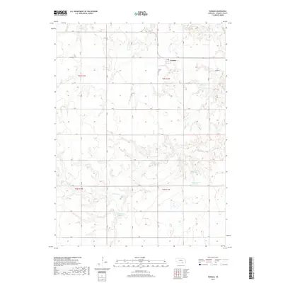
2017 Map of Norman
USGS Topo · Published 2017About this map
Norman serves as the primary settlement hub for this agricultural portion of Kearney County, characterized by a meticulously organized grid of section lines and water management systems. The landscape is defined by the drainage of Sand Cr and the S Br Sand Cr, which feed into several family-named irrigation and stock water sources including Petersen Reservoir, Christensen Reservoir, and Hieb Reservoir. These features, along with Reiss Reservoir Number 1 and Reiss Reservoir Number 2, indicate a sophisticated reliance on localized water storage for the surrounding farmland.
Find a feature on this map
24 named features on this map. Tap any name to fly to it.
Don’t see what you’re looking for? This feature index may not catch every label — zoom into the map to look around manually.
Map Details
Editions of this 2017 Norman Map
This is the sole edition of this map. No revisions or reprints were ever made.
Other maps of this area
1894 · Kenesaw
USGS Topo · 1:62,500
1894 · Minden
USGS Topo · 1:62,500
1896 · Wood River
USGS Topo · 1:125,000
1897 · Red Cloud
USGS Topo · 1:125,000
1955 · Grand Island
USGS Topo · 1:250,000
1957 · Grand Island
USGS Topo · 1:250,000
1958 · Grand Island
USGS Topo · 1:250,000
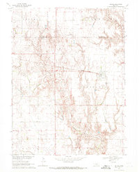
1969 · Upland
USGS Topo · 1:24,000
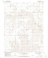
1969 · Upland SE
USGS Topo · 1:24,000
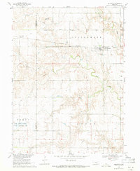
1969 · Holstein
USGS Topo · 1:24,000