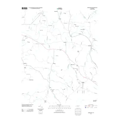
2013 Map of Normandy
USGS Topo · Published 2013About this map
The Duck River meanders through this portion of Tennessee, anchoring a landscape where agricultural history and aviation interests intersect. Near the settlement of Normandy, the river's path is marked by historic industry sites like Cortners Mill and Cortner, while further south, the Ledfords Mill label suggests the enduring importance of water-powered commerce in the region's development. The topographic detail highlights prominent local landmarks such as Saltpeter Bluff and Rippey Ridge, providing a clear view of the elevations surrounding the river valley.
Find a feature on this map
127 named features on this map. Tap any name to fly to it.
Don’t see what you’re looking for? This feature index may not catch every label — zoom into the map to look around manually.
Map Details
Editions of this 2013 Normandy Map
This is the sole edition of this map. No revisions or reprints were ever made.
Other maps of this area

1913 · Hollow Springs
USGS Topo · 1:62,500

1936 · Ovoca
USGS Topo · 1:24,000

1936 · Booneville
USGS Topo · 1:24,000

1936 · Shelbyville
USGS Topo · 1:24,000

1936 · Deason
USGS Topo · 1:24,000

1936 · Cumberland Springs
USGS Topo · 1:24,000

1936 · Noah
USGS Topo · 1:24,000

1936 · Wartrace
USGS Topo · 1:24,000

1936 · Camp Peay
USGS Topo · 1:24,000

1936 · Normandy
USGS Topo · 1:24,000