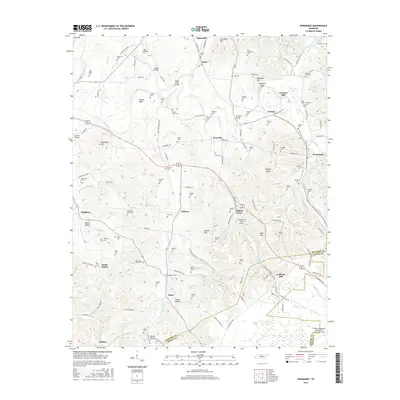
2016 Map of Normandy
USGS Topo · Published 2016About this map
The Duck River and its numerous tributaries, including Garrison Fork and Thompson Cr, carve a complex landscape of bluffs and bottoms in this central Tennessee region. Settled communities like Normandy, Raus, and Roseville anchor a network of rural roads that connect long-standing family landholdings and small industrial sites. The prevalence of milling history is evident at Cortners Mill on the river and Ledfords Mill to the southeast, while the numerous family burial grounds, such as Shofner Cem and Kimbro Cem, provide essential data for genealogical research into the area's early residents.
Find a feature on this map
141 named features on this map. Tap any name to fly to it.
Don’t see what you’re looking for? This feature index may not catch every label — zoom into the map to look around manually.
Map Details
Editions of this 2016 Normandy Map
This is the sole edition of this map. No revisions or reprints were ever made.
Other maps of this area

1913 · Hollow Springs
USGS Topo · 1:62,500

1936 · Ovoca
USGS Topo · 1:24,000

1936 · Booneville
USGS Topo · 1:24,000

1936 · Shelbyville
USGS Topo · 1:24,000

1936 · Deason
USGS Topo · 1:24,000

1936 · Cumberland Springs
USGS Topo · 1:24,000

1936 · Noah
USGS Topo · 1:24,000

1936 · Wartrace
USGS Topo · 1:24,000

1936 · Camp Peay
USGS Topo · 1:24,000

1936 · Normandy
USGS Topo · 1:24,000