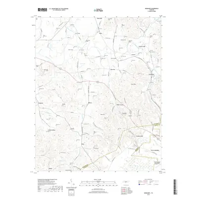
2019 Map of Normandy
USGS Topo · Published 2019About this map
Duck River hydrology and family-named cemeteries anchor this central Tennessee landscape where Bedford, Moore, and Coffee counties meet. The river meanders past Hooser Bend and Saltpeter Bluff, fueling the sites of Cortners Mill and Ledfords Mill. The terrain is marked by numerous family burial grounds, including the Hailey Cem, Shofner Cem, and Peter Miller Cem, which provide significant geographic clues for genealogists tracking early settlers in the Duck River valley.
Find a feature on this map
160 named features on this map. Tap any name to fly to it.
Don’t see what you’re looking for? This feature index may not catch every label — zoom into the map to look around manually.
Map Details
Editions of this 2019 Normandy Map
This is the sole edition of this map. No revisions or reprints were ever made.
Other maps of this area

1913 · Hollow Springs
USGS Topo · 1:62,500

1936 · Ovoca
USGS Topo · 1:24,000

1936 · Booneville
USGS Topo · 1:24,000

1936 · Shelbyville
USGS Topo · 1:24,000

1936 · Deason
USGS Topo · 1:24,000

1936 · Cumberland Springs
USGS Topo · 1:24,000

1936 · Noah
USGS Topo · 1:24,000

1936 · Wartrace
USGS Topo · 1:24,000

1936 · Camp Peay
USGS Topo · 1:24,000

1936 · Normandy
USGS Topo · 1:24,000