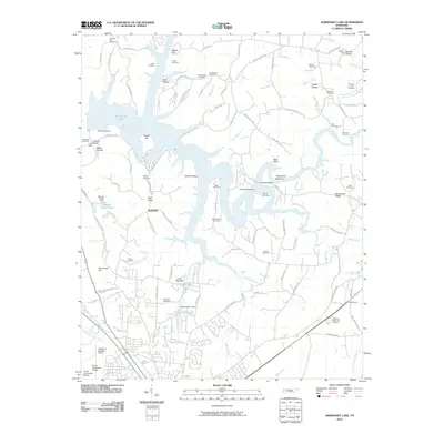
2010 Map of Normandy Lake
USGS Topo · Published 2010About this map
Normandy Lake dominates the central landscape of this 2010 survey, its winding waters created by the Normandy Dam and reaching into numerous hollows such as Buck Hollow and Barton Hollow. The area serves as a significant hydrologic hub, featuring several waterfalls including Machine Falls, Copperas Falls, and Rutledge Falls. The southern portion of the map transitions into the infrastructure serving the nearby city, most notably the Tullahoma Regional Airport.
Find a feature on this map
117 named features on this map. Tap any name to fly to it.
Don’t see what you’re looking for? This feature index may not catch every label — zoom into the map to look around manually.
Map Details
Editions of this 2010 Normandy Lake Map
This is the sole edition of this map. No revisions or reprints were ever made.
Other maps of this area

1913 · Hollow Springs
USGS Topo · 1:62,500

1936 · Ovoca
USGS Topo · 1:24,000

1936 · Fredonia
USGS Topo · 1:24,000

1936 · Manchester
USGS Topo · 1:24,000

1936 · Cumberland Springs
USGS Topo · 1:24,000

1936 · Noah
USGS Topo · 1:24,000

1936 · Wartrace
USGS Topo · 1:24,000

1936 · Camp Peay
USGS Topo · 1:24,000

1936 · Capitol Hill
USGS Topo · 1:24,000

1936 · Normandy
USGS Topo · 1:24,000