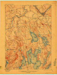
1898 Map of Norridgewock
USGS Topo · Published 1910About this map
The Kennebec River and Sandy River converge in this late 19th-century landscape, where river-driven commerce and early rail transport defined the local economy. Norridgewock and South Norridgewock serve as primary hubs at the river bend, marked by notable features such as Sunset Rock and the Bombazee Rips. To the south, a dense network of glacial lakes including Great Pond, North Pond, and East Pond dominates the terrain, with small lakeside settlements like Belgrade Mills and South Smithfield established along their shores. This survey documents a transitional era in central Maine, capturing the Maine Central R. R. cutting through the southeast corner near Messalonskee Lake while Davis Ferry still provided essential passage across the Sandy River further west. Dozens of named peaks, including Mc Intyre Hill, Philip Mt., and Bear Mt., illustrate the prominence of the rolling upland topography between the river valleys.
Find a feature on this map
77 named features on this map. Tap any name to fly to it.
Don’t see what you’re looking for? This feature index may not catch every label — zoom into the map to look around manually.
Map Details
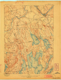
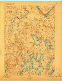
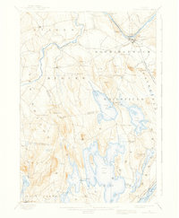
Editions of this 1898 Norridgewock Map
5 editions found
Other maps of this area

1892 · Waterville
USGS Topo · 1:62,500

1892 · Augusta
USGS Topo · 1:62,500

1893 · Vassalboro
USGS Topo · 1:62,500

1894 · Norridgewock
USGS Topo · 1:62,500

1898 · Norridgewock
USGS Topo · 1:62,500

1898 · Vassalboro
USGS Topo · 1:62,500

1904 · Anson
USGS Topo · 1:62,500

1910 · Livermore
USGS Topo · 1:62,500

1912 · Livermore
USGS Topo · 1:62,500

1913 · Skowhegan
USGS Topo · 1:62,500