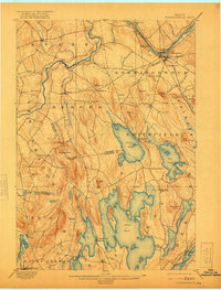
1898 Map of Norridgewock
USGS Topo · Published 1921About this map
The Kennebec River and Sandy River converge near the heart of Somerset County in this late 19th-century survey, revealing a landscape defined by water power and rural connectivity. The riverfront village of Norridgewock and its neighbor South Norridgewock anchor the northern reaches, while the southern half of the map is dominated by the expansive waters of Great Pond and North Pond. At Belgrade Mills, the topography suggests the early industrial importance of these interconnected lake systems.
Find a feature on this map
78 named features on this map. Tap any name to fly to it.
Don’t see what you’re looking for? This feature index may not catch every label — zoom into the map to look around manually.
Map Details
Editions of this 1898 Norridgewock Map
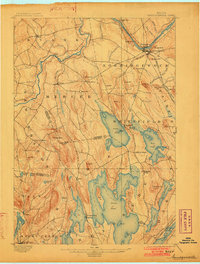
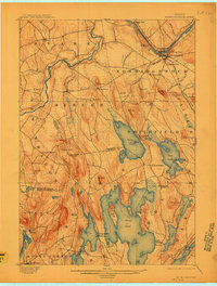
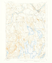
5 editions found
Other maps of this area

1892 · Waterville
USGS Topo · 1:62,500

1892 · Augusta
USGS Topo · 1:62,500

1893 · Vassalboro
USGS Topo · 1:62,500

1894 · Norridgewock
USGS Topo · 1:62,500

1898 · Norridgewock
USGS Topo · 1:62,500

1898 · Vassalboro
USGS Topo · 1:62,500

1904 · Anson
USGS Topo · 1:62,500

1910 · Livermore
USGS Topo · 1:62,500

1912 · Livermore
USGS Topo · 1:62,500

1913 · Skowhegan
USGS Topo · 1:62,500