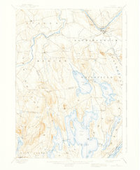
1898 Map of Norridgewock
USGS Topo · Published 1937About this map
The Kennebec River carves through the northern half of this landscape, its path marked by Bombazee Rips and a series of sharp bends near South Norridgewock. Before the widespread construction of bridges, the river was traversed by Davis Ferry, a vital crossing point connecting Starks and the surrounding farmland. The terrain is characterized by a dense network of glacial lakes and ponds in the southern reaches, including the expansive Great Pond and North Pond, which dominate the central topography.
Find a feature on this map
74 named features on this map. Tap any name to fly to it.
Don’t see what you’re looking for? This feature index may not catch every label — zoom into the map to look around manually.
Map Details
Editions of this 1898 Norridgewock Map
5 editions found
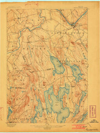
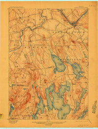
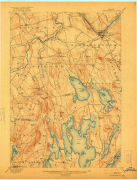
Other maps of this area

1892 · Waterville
USGS Topo · 1:62,500

1892 · Augusta
USGS Topo · 1:62,500

1893 · Vassalboro
USGS Topo · 1:62,500

1894 · Norridgewock
USGS Topo · 1:62,500

1898 · Norridgewock
USGS Topo · 1:62,500

1898 · Vassalboro
USGS Topo · 1:62,500

1904 · Anson
USGS Topo · 1:62,500

1910 · Livermore
USGS Topo · 1:62,500

1912 · Livermore
USGS Topo · 1:62,500

1913 · Skowhegan
USGS Topo · 1:62,500