
1898 Map of Norridgewock
USGS Topo · Published 1898About this map
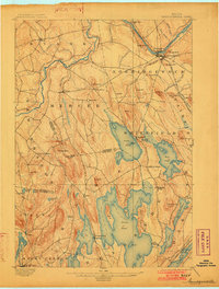
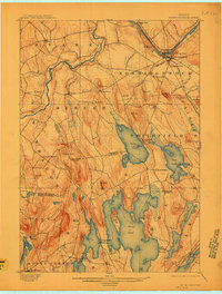
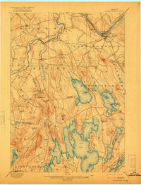
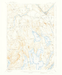
The Kennebec River flows through the heart of this late-nineteenth-century Somerset County landscape, marked by the prominent bend at Norridgewock and South Norridgewock. The area's transport-driven economy is evident in the operation of the Davis Ferry on the Sandy River and the path of the Somerset R. R. cutting through the hills. To the south, the terrain gives way to an extensive chain of lakes, where communities like Belgrade Mills and North Belgrade are established along the shores of Great Pond and Ellis Pond. Numerous named peaks, including Dodlin Hill and Hampshire Hill, rise between the river valleys and the lake district, illustrating the complex glacial topography that defined local settlement patterns and the timber-and-water industrial base of the era.
Find a feature on this map
75 named features on this map. Tap any name to fly to it.
Don’t see what you’re looking for? This feature index may not catch every label — zoom into the map to look around manually.
Map Details
Editions of this 1898 Norridgewock Map
5 editions found
Other maps of this area

1892 · Waterville
USGS Topo · 1:62,500

1892 · Augusta
USGS Topo · 1:62,500

1893 · Vassalboro
USGS Topo · 1:62,500

1894 · Norridgewock
USGS Topo · 1:62,500

1898 · Vassalboro
USGS Topo · 1:62,500

1904 · Anson
USGS Topo · 1:62,500

1910 · Livermore
USGS Topo · 1:62,500

1912 · Livermore
USGS Topo · 1:62,500

1913 · Skowhegan
USGS Topo · 1:62,500

1924 · Farmington
USGS Topo · 1:62,500