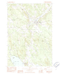
1982 Map of Norridgewock
USGS Topo · Published 1982About this map
The Kennebec River flows through the heart of this Somerset County landscape, anchoring the settlement of Norridgewock and its surrounding rural townships. During the early 1980s, the area maintained a distinct balance of aviation infrastructure and natural water systems, from the Central Maine Airport of Norridgewock and a secondary Landing Strip to the complex wetlands of East Pond Bog. Significant local history is preserved in the location of several burial grounds, including Old Oak Cem, Sunset View Cem, and Gould Cem. The southern reach of the survey is dominated by the expansive North Pond and East Pond, connected by the winding waterway known as The Serpentine. Elevated landmarks like McIntyre Hill and Mt Tom overlook a network of brooks such as Hatchery Brook and Sucker Brook that define the drainage patterns of the Norridgewock Plains.
Find a feature on this map
50 named features on this map. Tap any name to fly to it.
Don’t see what you’re looking for? This feature index may not catch every label — zoom into the map to look around manually.
Map Details
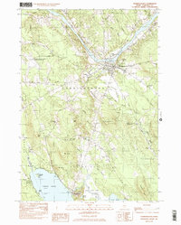
Editions of this 1982 Norridgewock Map
2 editions found
Other maps of this area

1892 · Waterville
USGS Topo · 1:62,500

1894 · Norridgewock
USGS Topo · 1:62,500

1898 · Norridgewock
USGS Topo · 1:62,500

1904 · Anson
USGS Topo · 1:62,500

1913 · Skowhegan
USGS Topo · 1:62,500

1943 · Norridgewock
USGS Topo · 1:62,500

1943 · Waterville
USGS Topo · 1:62,500

1948 · Bangor
USGS Topo · 1:250,000

1955 · Anson
USGS Topo · 1:62,500

1955 · Skowhegan
USGS Topo · 1:62,500