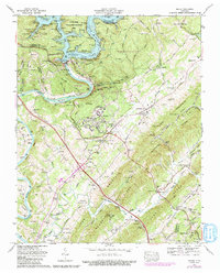
1973 Map of Norris
USGS Topo · Published 1991About this map
Norris Dam anchors this landscape, controlling the waters of Norris Lake and the Clinch River as they flow through the ridges of East Tennessee. The planned character of Norris is evident in its street layouts and proximity to the Norris State Park, while the surrounding rural landscape is defined by the steep topography of Lone Mountain Ridge and Bluebird Ridge. The map documents a blend of early hydroelectric infrastructure and preservation, featuring the Museum of Appalachia and an Old Mill near Hibbs Island.
Find a feature on this map
87 named features on this map. Tap any name to fly to it.
Don’t see what you’re looking for? This feature index may not catch every label — zoom into the map to look around manually.
Map Details
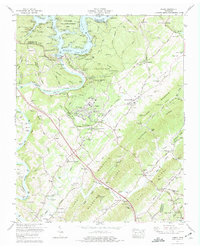
Editions of this 1973 Norris Map
2 editions found
Other maps of this area

1893 · Briceville
USGS Topo · 1:125,000

1895 · Briceville
USGS Topo · 1:125,000

1896 · Briceville
USGS Topo · 1:125,000

1897 · Maynardville
USGS Topo · 1:125,000

1900 · Maynardville
USGS Topo · 1:125,000

1935 · Fountain City
USGS Topo · 1:24,000

1936 · Gorryton
USGS Topo · 1:48,000

1936 · Jacksboro
USGS Topo · 1:24,000

1936 · White Hollow
USGS Topo · 1:24,000

1936 · La Follette
USGS Topo · 1:48,000