
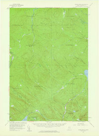
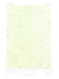
1957 Map of Norris Brook
USGS Topo · Published 1960About this map
The northern Maine wilderness and the International Boundary between the United States and Canada define this mid-century survey of Somerset County. This landscape is a complex drainage basin where the headwaters of the St John River and the Penobscot River nearly meet. In the northern reaches, the St John is fed by a network of branches including the Southwest Branch and Middle Branch, while the south is dominated by the North Branch of the Penobscot. This area is characterized by vast wetlands like the Big Bog and numerous remote bodies of water such as Dole Pond, Little St John Lake, and Spencer Pond. The terrain is marked by prominent elevations like Hinckley Hill and Hurricane Hill, with the survey capturing the industrial footprint of a Gravel Pit and a network of unimproved roads and jeep trails that supported the region's logging and conservation activities during the late 1950s.
Find a feature on this map
43 named features on this map. Tap any name to fly to it.
Don’t see what you’re looking for? This feature index may not catch every label — zoom into the map to look around manually.
Map Details
Editions of this 1957 Norris Brook Map
3 editions found
Other maps of this area

1927 · Sandy Bay
USGS Topo · 1:48,000

1930 · Sandy Bay
USGS Topo · 1:62,500

1944 · Sandy Bay
USGS Topo · 1:62,500

1949 · Jackman
USGS Topo · 1:250,000

1954 · Seboomook Lake
USGS Topo · 1:62,500

1954 · Baker Lake
USGS Topo · 1:62,500

1954 · St. John Pond
USGS Topo · 1:62,500

1954 · Presque Isle
USGS Topo · 1:250,000

1954 · Millinocket
USGS Topo · 1:250,000

1956 · Penobscot Lake
USGS Topo · 1:62,500