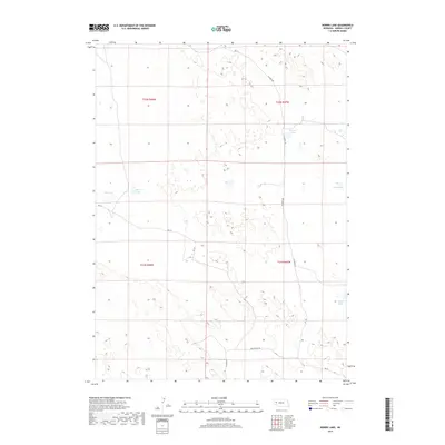
2017 Map of Norris Lake
USGS Topo · Published 2017About this map
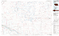
Norris Lake and its surrounding wetlands characterize this portion of Morrill County, where the High Plains terrain is marked by numerous ephemeral and semi-permanent water bodies. The landscape is structured by a grid of rural routes, including Alliance Rd and Broadwater Rd, which navigate between the depressions and basins typical of this region. Notable water features like Kleman Lake, Box Lake, and the clusters of Mud Lakes illustrate the drainage patterns of the Sandhills transition zone. To the southeast, Roach Lake sits near the junction of Rd 98, serving as a landmark in a territory defined primarily by its hydrology and section-line roads like Rd 114 and Rd 129.
Find a feature on this map
15 named features on this map. Tap any name to fly to it.
Don’t see what you’re looking for? This feature index may not catch every label — zoom into the map to look around manually.
Map Details
Editions of this 2017 Norris Lake Map
This is the sole edition of this map. No revisions or reprints were ever made.
Other maps of this area
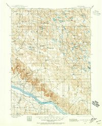
1896 · Browns Creek
USGS Topo · 1:125,000
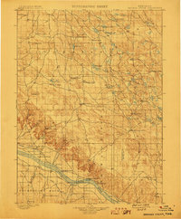
1899 · Browns Creek
USGS Topo · 1:125,000
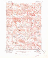
1949 · Lynn
USGS Topo · 1:62,500
1950 · Storm Lake
USGS Topo · 1:62,500

1954 · Scottsbluff
USGS Topo · 1:250,000

1958 · Scottsbluff
USGS Topo · 1:250,000
1965 · Broadwater NW
USGS Topo · 1:24,000
1965 · Broadwater NE
USGS Topo · 1:24,000
1971 · Tar Valley
USGS Topo · 1:24,000
1985 · Crescent Lake
USGS Topo · 1:100,000