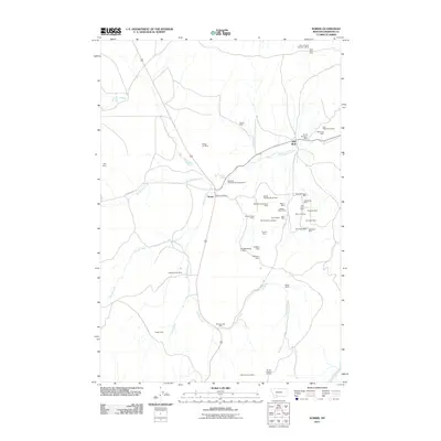
2011 Map of Norris
USGS Topo · Published 2011About this map
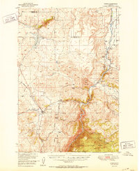
The community of Norris and the nearby settlement of Red Bluff center this 2011 survey, where the rugged terrain is defined by a dense concentration of historical mining claims. The landscape is heavily marked by hard-rock mining history, particularly on the ridges east of the Norris Post Office, where clusters of operations like the Boaz Mine, Helene Mine, and Golconda Mine indicate a legacy of gold and mineral extraction. The network of water and leisure is equally prominent, with Hot Springs Creek flowing toward the Bear Trap Hot Springs and the Beartrap Hot Springs Campground. Southwest of the main settlement, large-scale ranching and further mining interests are mapped through the Jackson Ranch Mine and Montana Boy Mine. This 2011 edition provides a clear record of the intersection between historic mining districts and modern recreational and agricultural land use in Madison County.
Find a feature on this map
45 named features on this map. Tap any name to fly to it.
Don’t see what you’re looking for? This feature index may not catch every label — zoom into the map to look around manually.
Map Details
Editions of this 2011 Norris Map
This is the sole edition of this map. No revisions or reprints were ever made.
Other maps of this area
1888 · Three Forks
USGS Topo · 1:250,000
1894 · Three Forks
USGS Topo · 1:250,000
1895 · Three Forks
USGS Topo · 1:250,000

1947 · Bozeman
USGS Topo · 1:250,000

1948 · Bozeman
USGS Topo · 1:250,000
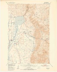
1949 · Ennis
USGS Topo · 1:62,500
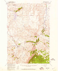
1949 · Norris
USGS Topo · 1:62,500
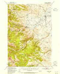
1950 · Harrison
USGS Topo · 1:62,500
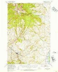
1950 · Virginia City
USGS Topo · 1:62,500
1951 · Norris
USGS Topo · 1:62,500