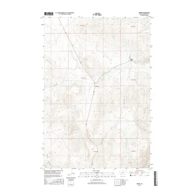
2017 Map of Norris
USGS Topo · Published 2017About this map
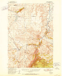
Norris and Red Bluff serve as the primary focal points of this Madison County landscape, where the intersection of transit and hydrology defines the region's character. The area is marked by a network of thermal and seasonal watercourses, most notably Bear Trap Hot Springs and Hot Springs Cr, which flow through the undulating terrain towards the eastern reaches of the Madison River.
Find a feature on this map
19 named features on this map. Tap any name to fly to it.
Don’t see what you’re looking for? This feature index may not catch every label — zoom into the map to look around manually.
Map Details
Editions of this 2017 Norris Map
This is the sole edition of this map. No revisions or reprints were ever made.
Other maps of this area
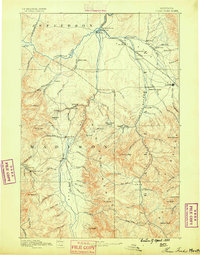
1888 · Three Forks
USGS Topo · 1:250,000
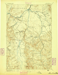
1894 · Three Forks
USGS Topo · 1:250,000
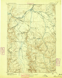
1895 · Three Forks
USGS Topo · 1:250,000

1947 · Bozeman
USGS Topo · 1:250,000

1948 · Bozeman
USGS Topo · 1:250,000
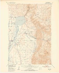
1949 · Ennis
USGS Topo · 1:62,500
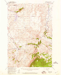
1949 · Norris
USGS Topo · 1:62,500
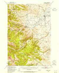
1950 · Harrison
USGS Topo · 1:62,500
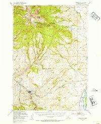
1950 · Virginia City
USGS Topo · 1:62,500
1951 · Norris
USGS Topo · 1:62,500