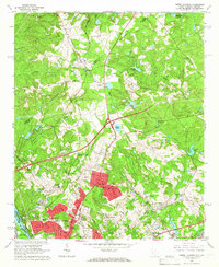
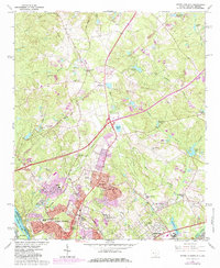
1964 Map of North Augusta
USGS Topo · Published 1966About this map
North Augusta and its burgeoning mid-century residential neighborhoods overlook the Savannah River at the South Carolina and Georgia border. The landscape of the early 1960s reveals a community in transition, where new developments like Belvedere and the Summerfield Sch sit alongside long-established landmarks. Local family history is deeply etched into the terrain through sites like Meeting Grove Cem, Hammond Cem, and Pine Grove Cem, alongside numerous country churches including Mealing Grove Ch and Mt Figuration Ch.
Find a feature on this map
53 named features on this map. Tap any name to fly to it.
Don’t see what you’re looking for? This feature index may not catch every label — zoom into the map to look around manually.
Map Details
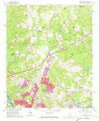
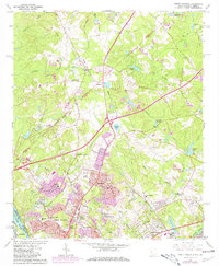
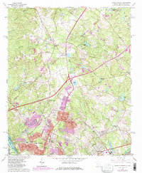
Editions of this 1964 North Augusta Map
5 editions found
Other maps of this area

1892 · Mc Cormick
USGS Topo · 1:125,000

1912 · Mc Cormick
USGS Topo · 1:125,000

1920 · Clarks Hill
USGS Topo · 1:48,000

1921 · Augusta
USGS Topo · 1:62,500

1921 · Clarks Hill
USGS Topo · 1:62,500

1922 · Hephzibah
USGS Topo · 1:62,500

1923 · Warrenville
USGS Topo · 1:48,000

1928 · Warrenville
USGS Topo · 1:62,500

1941 · Clarks Hill
USGS Topo · 1:62,500

1942 · Clarks Hill
USGS Topo · 1:62,500