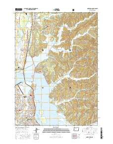
2017 Map of North Bend
USGS Topo · Published 2017About this map
Coos Bay and the industrial waterfront of North Bend define this coastal landscape, where the McCullough Memorial Bridge spans the water to connect the city with northern settlements like Glasgow. The map illustrates a complex network of maritime navigation channels, including the North Bend Upper Range and the Marshfield Channel, which support the region's shipping economy. To the north, the terrain transitions into the dense woodlands of the Siuslaw National Forest, dotted with freshwater bodies such as Snag Lake, Teal Lake, and Horsfall Lake. Aviation infrastructure is prominent, featuring both the Southwest Oregon Regional Airport on the peninsula and the smaller Sunnyhill Airport further inland. The intricate shoreline is marked by numerous inlets like Haynes Inlet and Kentuck Inlet, reflecting the tidal geography of the Oregon coast.
Find a feature on this map
147 named features on this map. Tap any name to fly to it.
Don’t see what you’re looking for? This feature index may not catch every label — zoom into the map to look around manually.
Map Details
Editions of this 2017 North Bend Map
This is the sole edition of this map. No revisions or reprints were ever made.
Other maps of this area

1896 · Coos Bay
USGS Topo · 1:125,000

1898 · Coos Bay
USGS Topo · 1:125,000

1900 · Coos Bay
USGS Topo · 1:125,000

1923 · Reedsport
USGS Topo · 1:62,500

1942 · Reedsport
USGS Topo · 1:62,500

1942 · Empire
USGS Topo · 1:62,500

1942 · Coos Bay
USGS Topo · 1:62,500

1944 · Empire
USGS Topo · 1:62,500

1945 · Coos Bay
USGS Topo · 1:62,500

1954 · Coos Bay
USGS Topo · 1:250,000