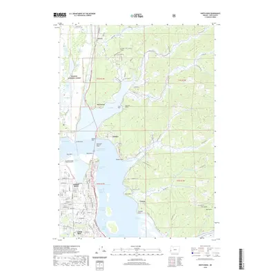
2020 Map of North Bend
USGS Topo · Published 2020About this map
The city of North Bend serves as the focal point of this coastal landscape, situated where the Oregon Coast Highway crosses the water via the McCullough Memorial Bridge. The map details a complex network of waterways, including Haynes Inlet, North Slough, and the Marshfield Channel, which define the region's shipping and navigation corridors. To the north and west, the dunes and lakes of the Siuslaw National Forest contrast with the industrial and residential development of the mainland. Small settlements like Glasgow, Hauser, and Cooston dot the periphery, while the Southwest Oregon Regional Airport occupies the flat expanse of Pony Point. Notable terrain features such as Noah Butte and Lone Rock provide landmarks for understanding the transition from tidal flats to the interior hills of Coos County.
Find a feature on this map
66 named features on this map. Tap any name to fly to it.
Don’t see what you’re looking for? This feature index may not catch every label — zoom into the map to look around manually.
Map Details
Editions of this 2020 North Bend Map
This is the sole edition of this map. No revisions or reprints were ever made.
Other maps of this area
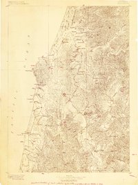
1896 · Coos Bay
USGS Topo · 1:125,000
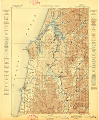
1898 · Coos Bay
USGS Topo · 1:125,000
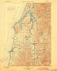
1900 · Coos Bay
USGS Topo · 1:125,000
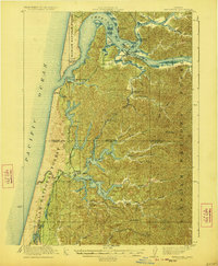
1923 · Reedsport
USGS Topo · 1:62,500
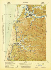
1942 · Reedsport
USGS Topo · 1:62,500
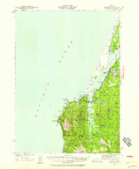
1942 · Empire
USGS Topo · 1:62,500
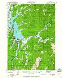
1942 · Coos Bay
USGS Topo · 1:62,500
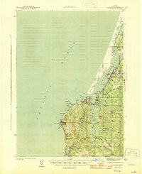
1944 · Empire
USGS Topo · 1:62,500
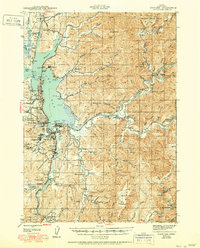
1945 · Coos Bay
USGS Topo · 1:62,500
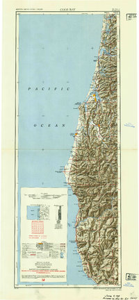
1954 · Coos Bay
USGS Topo · 1:250,000