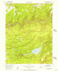
1949 Map of North Bloomfield
USGS Topo · Published 1957About this map
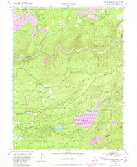
Malakoff Diggings and other hydraulic mining sites dominate this 1949 survey of Nevada County, showing a landscape deeply altered by the quest for gold. The map centers on the high ridges between the South Fork Yuba River and Deer Creek, where historic settlements like North Bloomfield and North Columbia supported a massive industrial extraction effort. This era of water-powered mining is clearly etched into the terrain through an extensive network of infrastructure, including the Cascade Canal, various ditches, and flumes designed to move water across San Juan Ridge and Washington Ridge.
Find a feature on this map
88 named features on this map. Tap any name to fly to it.
Don’t see what you’re looking for? This feature index may not catch every label — zoom into the map to look around manually.
Map Details
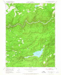
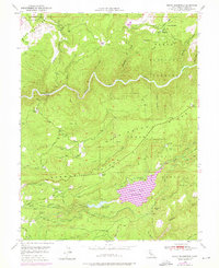
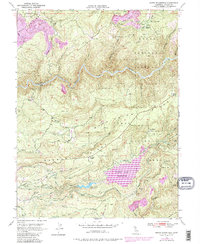
Editions of this 1949 North Bloomfield Map
5 editions found
Other maps of this area

1888 · Smartsville
USGS Topo · 1:125,000

1891 · Colfax
USGS Topo · 1:125,000

1891 · Smartsville
USGS Topo · 1:125,000

1892 · Smartsville
USGS Topo · 1:125,000

1892 · Colfax
USGS Topo · 1:125,000

1894 · Colfax
USGS Topo · 1:125,000

1894 · Smartsville
USGS Topo · 1:125,000

1895 · Smartsville
USGS Topo · 1:125,000

1898 · Colfax
USGS Topo · 1:125,000

1900 · Colfax
USGS Topo · 1:125,000