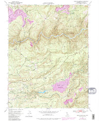
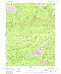
1949 Map of North Bloomfield
USGS Topo · Published 1980About this map
San Juan Ridge and Washington Ridge dominate this landscape, reflecting the hydraulic mining legacy of the mid-20th century. The presence of the Malakoff Diggings and various Placer Diggings north of the South Yuba River illustrates the scale of earth-moving operations that once defined this region. While the primary topography was documented in 1946, later revisions show the development of Scotts Flat Reservoir and the Deer Creek Reservoir, marking the transition from mining-centric water use to larger-scale water management.
Find a feature on this map
50 named features on this map. Tap any name to fly to it.
Don’t see what you’re looking for? This feature index may not catch every label — zoom into the map to look around manually.
Map Details
Editions of this 1949 North Bloomfield Map
5 editions found
Other maps of this area

1888 · Smartsville
USGS Topo · 1:125,000

1891 · Colfax
USGS Topo · 1:125,000

1891 · Smartsville
USGS Topo · 1:125,000

1892 · Smartsville
USGS Topo · 1:125,000

1892 · Colfax
USGS Topo · 1:125,000

1894 · Colfax
USGS Topo · 1:125,000

1894 · Smartsville
USGS Topo · 1:125,000

1895 · Smartsville
USGS Topo · 1:125,000

1898 · Colfax
USGS Topo · 1:125,000

1900 · Colfax
USGS Topo · 1:125,000