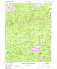
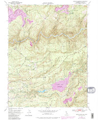
1949 Map of North Bloomfield
USGS Topo · Published 1980About this map
Malakoff Diggings and the surrounding hydraulic mining landscape define this portion of the northern Sierra Nevada foothills. The map documents a terrain deeply altered by the quest for gold, with remnants of massive placer operations visible near North Bloomfield and North Columbia. The water infrastructure required for these efforts is preserved through an intricate network of ditches and canals, including the Cascade Ditch and Cascade Canal, which historically moved water from higher elevations to the diggings.
Find a feature on this map
95 named features on this map. Tap any name to fly to it.
Don’t see what you’re looking for? This feature index may not catch every label — zoom into the map to look around manually.
Map Details
Editions of this 1949 North Bloomfield Map
5 editions found
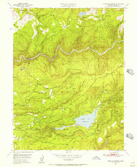
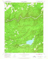
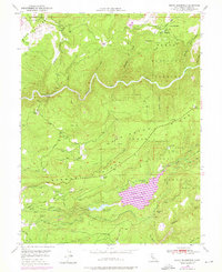
Other maps of this area

1888 · Smartsville
USGS Topo · 1:125,000

1891 · Colfax
USGS Topo · 1:125,000

1891 · Smartsville
USGS Topo · 1:125,000

1892 · Smartsville
USGS Topo · 1:125,000

1892 · Colfax
USGS Topo · 1:125,000

1894 · Colfax
USGS Topo · 1:125,000

1894 · Smartsville
USGS Topo · 1:125,000

1895 · Smartsville
USGS Topo · 1:125,000

1898 · Colfax
USGS Topo · 1:125,000

1900 · Colfax
USGS Topo · 1:125,000