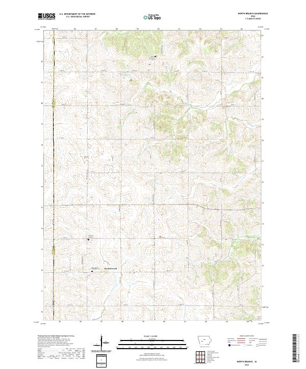
2022 Map of North Branch
USGS Topo · Published 2022About this map
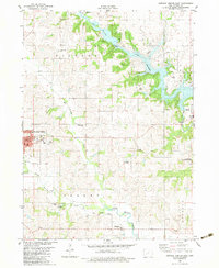
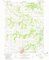
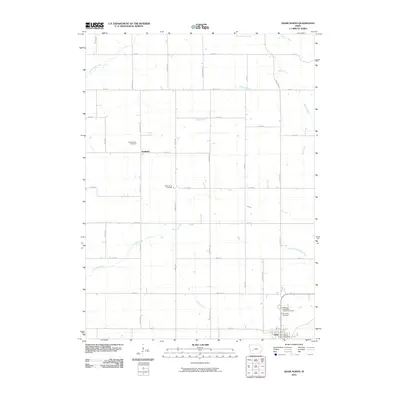
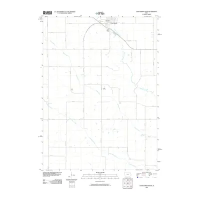
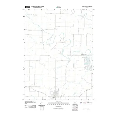
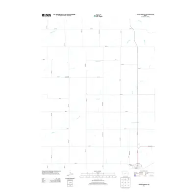
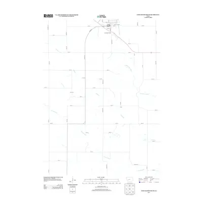
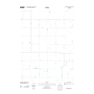
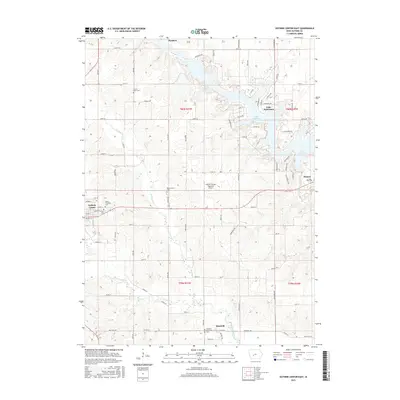
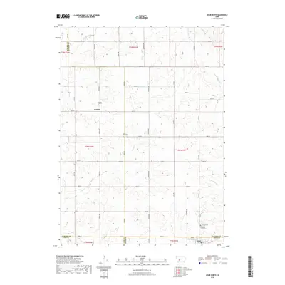
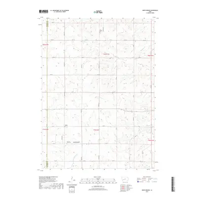
North Branch serves as a central reference point in this rural landscape near the boundary of Audubon and Guthrie counties. The area is defined by a dense network of sectional roads and a series of watercourses that carve through the Iowa terrain, including the uniquely named Troublesome Cr, Lone Grove Cr, and Seely Cr. This 2022 survey captures the enduring agricultural character of the region, where family and local history are anchored by several established burial grounds. Researchers will find Union Township Cem in the north, Pleasant Hill Cem centrally located, and the Bear Grove Township Cem further south. These landmarks, alongside the winding paths of Frost Cr and Mason Cr, illustrate the intersection of natural drainage patterns and the organized grid of the Public Land Survey System.
Find a feature on this map
40 named features on this map. Tap any name to fly to it.
Don’t see what you’re looking for? This feature index may not catch every label — zoom into the map to look around manually.
Map Details
Editions of this 2022 North Branch Map
This is the sole edition of this map. No revisions or reprints were ever made.
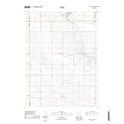
Historical Maps of Baker Township Through Time
36 maps found
1971 Adair North
Guthrie County, IA

1971 Coon Rapids South
Guthrie County, IA
1971 Guthrie Center West
Guthrie County, IA
1971 North Branch
Guthrie County, IA
1982 Guthrie Center East
Guthrie County, IA
1982 Stuart North
Guthrie County, IA
2010 Adair North
Guthrie County, IA
2010 Coon Rapids South
Guthrie County, IA
2010 Guthrie Center East
Guthrie County, IA
2010 Guthrie Center West
Guthrie County, IA
2010 North Branch
Guthrie County, IA
2010 Stuart North
Guthrie County, IA
2013 Adair North
Guthrie County, IA
2013 Coon Rapids South
Guthrie County, IA
2013 Guthrie Center East
Guthrie County, IA
2013 Guthrie Center West
Guthrie County, IA
2013 North Branch
Guthrie County, IA
2013 Stuart North
Guthrie County, IA
2015 Adair North
Guthrie County, IA
2015 Coon Rapids South
Guthrie County, IA
2015 Guthrie Center East
Guthrie County, IA
2015 Guthrie Center West
Guthrie County, IA
2015 North Branch
Guthrie County, IA
2015 Stuart North
Guthrie County, IA
2018 Adair North
Guthrie County, IA
2018 Coon Rapids South
Guthrie County, IA
2018 Guthrie Center East
Guthrie County, IA
2018 Guthrie Center West
Guthrie County, IA
2018 North Branch
Guthrie County, IA
2018 Stuart North
Guthrie County, IA
2022 Adair North
Guthrie County, IA
2022 Coon Rapids South
Guthrie County, IA
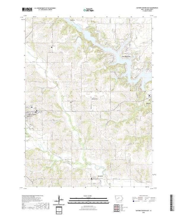
2022 Guthrie Center East
Guthrie County, IA
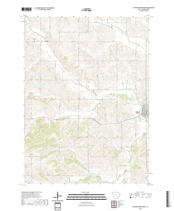
2022 Guthrie Center West
Guthrie County, IA
2022 North Branch
Guthrie County, IA
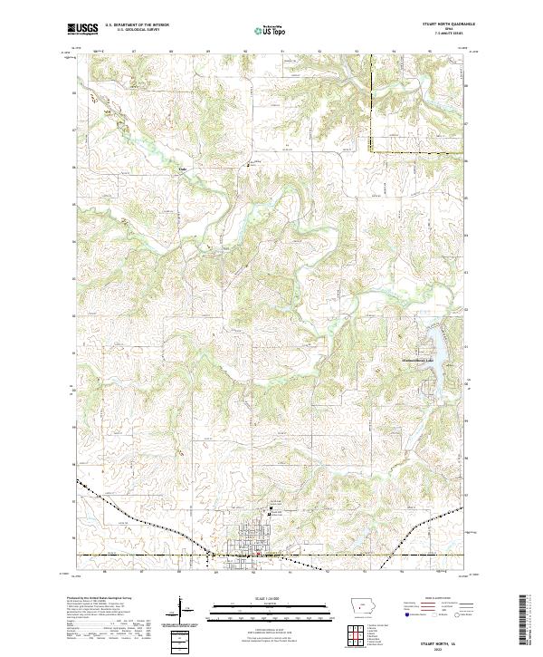
2022 Stuart North
Guthrie County, IA
Featured Locations
- Baker Township, IA
- Bear Grove Township, IA
- Union Township, IA
- Seely Township, IA
- North Branch, Bear Grove Township