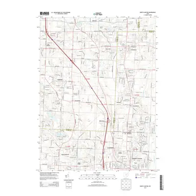
2013 Map of North Canton
USGS Topo · Published 2013About this map
The Akron-Canton Regional Airport serves as a major hub for this region, straddling the border of Summit and Stark counties. The landscape transitions from the suburban development of North Canton and Greentown into a mosaic of small lakes and agricultural remnants. Numerous local burial grounds, including Greensburg Cem and Woods Cem, offer key points of interest for genealogists tracing family roots in townships like Green and McDonaldsville.
Find a feature on this map
55 named features on this map. Tap any name to fly to it.
Don’t see what you’re looking for? This feature index may not catch every label — zoom into the map to look around manually.
Map Details
Editions of this 2013 North Canton Map
This is the sole edition of this map. No revisions or reprints were ever made.
Other maps of this area

1901 · Massillon
USGS Topo · 1:62,500

1901 · Canton
USGS Topo · 1:62,500

1903 · Massillon
USGS Topo · 1:62,500

1903 · Canton
USGS Topo · 1:62,500

1903 · Akron
USGS Topo · 1:62,500

1905 · Akron
USGS Topo · 1:62,500

1906 · Kent
USGS Topo · 1:62,500

1950 · Cleveland
USGS Topo · 1:250,000

1951 · Canton
USGS Topo · 1:250,000

1953 · Canton
USGS Topo · 1:250,000