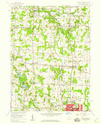
1958 Map of North Canton
USGS Topo · Published 1959About this map
North Canton anchors the southern edge of this mid-century survey, a period of transition as aviation and suburban growth began to reshape the northern Stark County and southern Summit County line. The massive Akron-Canton Airport dominates the center of the sheet, flanked by the Air National Guard base and recreation sites like the Mayfair Country Club. This landscape preserves the early settlement patterns of towns like Greentown, Uniontown, and Greensburg before modern sprawl fully connected them.
Find a feature on this map
59 named features on this map. Tap any name to fly to it.
Don’t see what you’re looking for? This feature index may not catch every label — zoom into the map to look around manually.
Map Details
Editions of this 1958 North Canton Map
This is the sole edition of this map. No revisions or reprints were ever made.
Other maps of this area

1901 · Massillon
USGS Topo · 1:62,500

1901 · Canton
USGS Topo · 1:62,500

1903 · Massillon
USGS Topo · 1:62,500

1903 · Canton
USGS Topo · 1:62,500

1903 · Akron
USGS Topo · 1:62,500

1905 · Akron
USGS Topo · 1:62,500

1906 · Kent
USGS Topo · 1:62,500

1950 · Cleveland
USGS Topo · 1:250,000

1951 · Canton
USGS Topo · 1:250,000

1953 · Canton
USGS Topo · 1:250,000