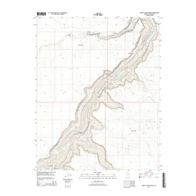
2014 Map of North Canyon Point
USGS Topo · Published 2014About this map
Grand Canyon National Park encompasses the deep incisions of the Colorado River as it carves through Marble Canyon in this northern Arizona survey. The landscape is defined by extreme vertical relief and complex drainage systems, where the river's path is marked by a series of named navigational hazards including Twentyone Mile Rapids, Georgie Rapid, and Hansbrough-Richards Rapid. Tributary canyons and seasonal drainages like Shinumo Wash and South Canyon feed into the main river corridor from the high plateaus above.
Find a feature on this map
26 named features on this map. Tap any name to fly to it.
Don’t see what you’re looking for? This feature index may not catch every label — zoom into the map to look around manually.
Map Details
Editions of this 2014 North Canyon Point Map
This is the sole edition of this map. No revisions or reprints were ever made.
Other maps of this area

1886 · Echo Cliffs
USGS Topo · 1:250,000

1891 · Echo Cliffs
USGS Topo · 1:250,000

1954 · Emmett Wash NE
USGS Topo · 1:24,000

1954 · Emmett Wash NW
USGS Topo · 1:24,000

1954 · Nankoweap
USGS Topo · 1:62,500

1954 · Tanner Wash
USGS Topo · 1:62,500

1954 · Emmett Wash
USGS Topo · 1:62,500

1954 · Shinumo Altar
USGS Topo · 1:62,500

1956 · Marble Canyon
USGS Topo · 1:250,000

1959 · Marble Canyon
USGS Topo · 1:250,000