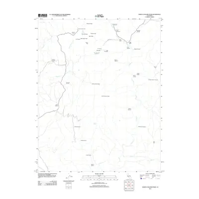
2012 Map of North Chalone Peak
USGS Topo · Published 2012About this map
North Chalone Peak and South Chalone Peak anchor this complex geological landscape, characterized by dramatic vertical rock formations and narrow canyons. The 2012 survey illustrates a terrain defined by notable spires and ridges such as Machete Ridge, Pinnacle Rocks, and The Fingers. This area shows a distinct infrastructure for outdoor recreation, featuring several developed sites like the Chaparral Campground and the Chalone Creek Campground located near McCabe Canyon.
Find a feature on this map
48 named features on this map. Tap any name to fly to it.
Don’t see what you’re looking for? This feature index may not catch every label — zoom into the map to look around manually.
Map Details
Editions of this 2012 North Chalone Peak Map
This is the sole edition of this map. No revisions or reprints were ever made.
Other maps of this area

1912 · Metz
USGS Topo · 1:31,680

1915 · Soledad
USGS Topo · 1:62,500

1919 · San Benito
USGS Topo · 1:62,500

1921 · Gonzales
USGS Topo · 1:62,500

1921 · Metz
USGS Topo · 1:62,500

1931 · San Benito
USGS Topo · 1:62,500

1940 · Metz
USGS Topo · 1:62,500

1940 · Soledad
USGS Topo · 1:62,500

1940 · San Benito
USGS Topo · 1:62,500
1940 · Gonzales
USGS Topo · 1:62,500