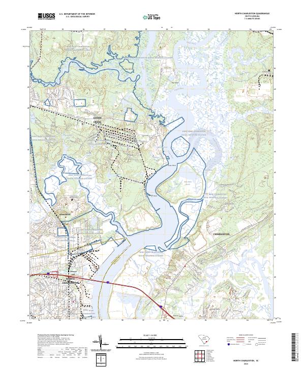
2024 Map of North Charleston
USGS Topo · Published 2024About this map
The Joint Base Charleston Naval Weapons Station dominates this coastal landscape, illustrating the heavy military and industrial presence north of the historic city. The map details a complex network of waterways where the Cooper River meets Back River and Goose Creek, surrounding major landforms like Big Island and Thomas Island. This modern survey reveals how specialized infrastructure like the Charleston Defense Fuel Support Point and the Joint Base Charleston North Yard integrates with established residential areas in Hanahan and North Charleston. Local history is preserved in the form of the Yeamans Hall Plantation Cem and Grove Cemetery, while the presence of the Vetr railroad line indicates the continued importance of rail transport for the region's shipping and defense logistics.
Find a feature on this map
193 named features on this map. Tap any name to fly to it.
Don’t see what you’re looking for? This feature index may not catch every label — zoom into the map to look around manually.
Map Details
Editions of this 2024 North Charleston Map
This is the sole edition of this map. No revisions or reprints were ever made.
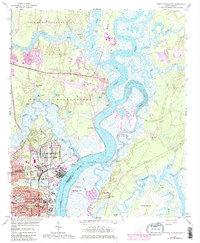
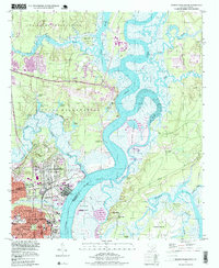
Historical Maps of Yellow House Landing Through Time
3 maps found