
1942 Map of North Conway
USGS Topo · Published 1956About this map
The Saco River valley serves as the primary artery for settlement and transit in this 1942 survey of the White Mountains. North Conway emerges as a central hub, supported by the dual presence of the Maine Central RR and the Boston and Maine RR, which connect the valley to broader regional commerce. The landscape is characterized by a mix of early 20th-century aviation at the North Conway Airport and established recreational infrastructure, including the Black Mtn Cabin and an extensive network of footpaths like the Wildcat Ridge Trail.
Find a feature on this map
136 named features on this map. Tap any name to fly to it.
Don’t see what you’re looking for? This feature index may not catch every label — zoom into the map to look around manually.
Map Details
Editions of this 1942 North Conway Map
4 editions found
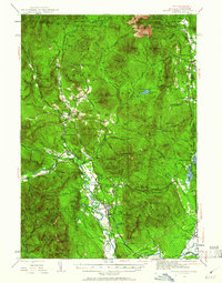
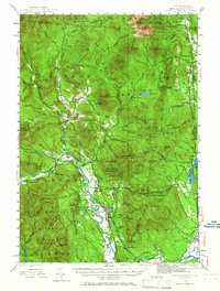
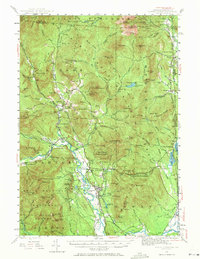
Other maps of this area

1893 · Mt. Washington
USGS Topo · 1:62,500

1893 · Gorham
USGS Topo · 1:62,500

1894 · North Conway
USGS Topo · 1:62,500

1895 · Crawford Notch
USGS Topo · 1:62,500

1896 · Mt. Washington
USGS Topo · 1:62,500

1896 · Crawford Notch
USGS Topo · 1:62,500

1896 · North Conway
USGS Topo · 1:62,500

1896 · Gorham
USGS Topo · 1:62,500

1909 · Fryeburg
USGS Topo · 1:62,500

1910 · Kezar Falls
USGS Topo · 1:48,000