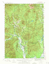
1942 Map of North Conway
USGS Topo · Published 1971About this map
The village of North Conway serves as the focal point for this mountain landscape, positioned where the Saco River valley widens below the granite heights of Kearsarge North. In the early 1940s, the region was characterized by its dual identity as a working timber and rail corridor and a growing destination for mountain recreation. The presence of the Boston and Maine Railroad and the Maine Central Railroad facilitated the movement of people and materials through the valley, connecting settlements like Redstone and Glen to the wider New England network.
Find a feature on this map
117 named features on this map. Tap any name to fly to it.
Don’t see what you’re looking for? This feature index may not catch every label — zoom into the map to look around manually.
Map Details
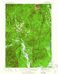
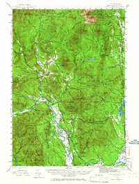
Editions of this 1942 North Conway Map
4 editions found

Other maps of this area

1893 · Mt. Washington
USGS Topo · 1:62,500

1893 · Gorham
USGS Topo · 1:62,500

1894 · North Conway
USGS Topo · 1:62,500

1895 · Crawford Notch
USGS Topo · 1:62,500

1896 · Mt. Washington
USGS Topo · 1:62,500

1896 · Crawford Notch
USGS Topo · 1:62,500

1896 · North Conway
USGS Topo · 1:62,500

1896 · Gorham
USGS Topo · 1:62,500

1909 · Fryeburg
USGS Topo · 1:62,500

1910 · Kezar Falls
USGS Topo · 1:48,000